
Language Switcher Mobile

Regions and Destinations

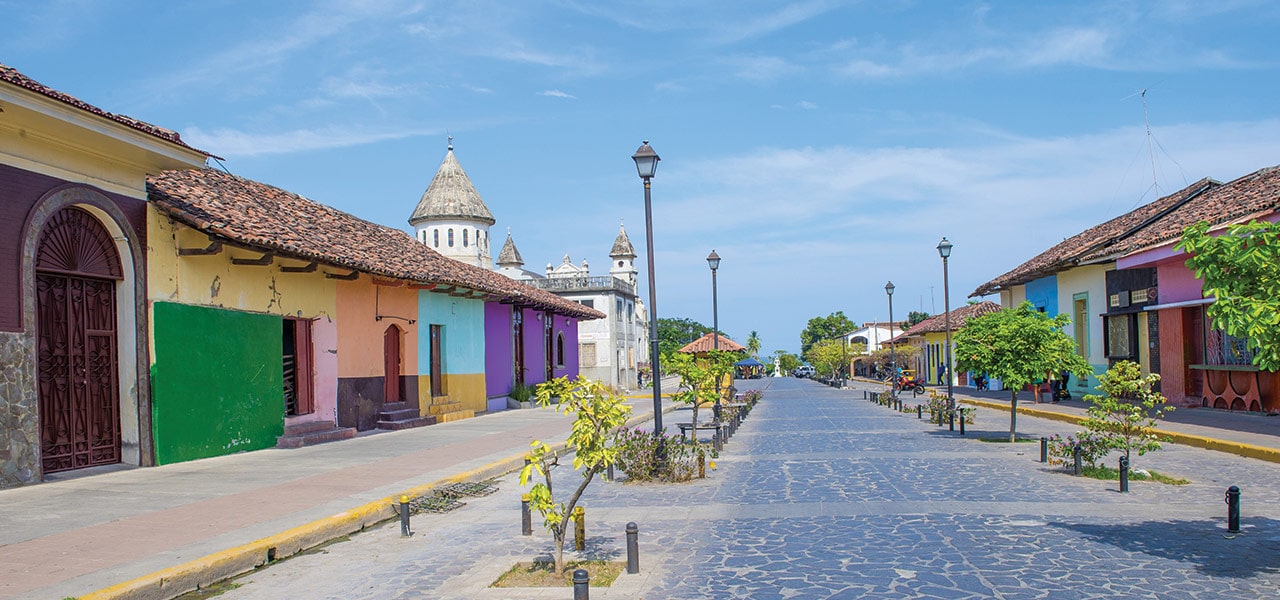
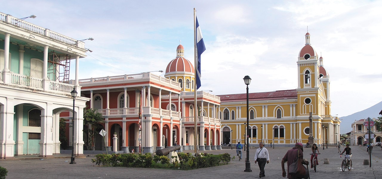
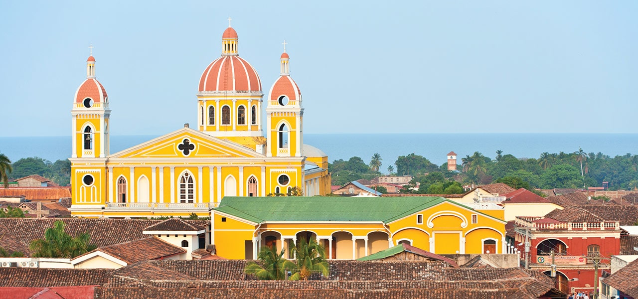
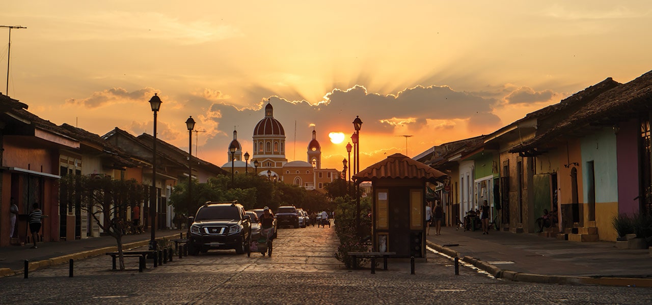
It may be the biggest Central American country, but Nicaragua is comparatively untraveled. Don’t let this put you off: the country’s landscape is breathtaking, from the hot and dry northwest climate to the luxurious jungle in the east and the lush pastures of the central highlands. Whether you plan to snorkel off the northwest coast, visit picturesque green coffee plantations, jump over waves in Lago de Nicaragua or stroll around the colourful colonial streets of Granada, use our map of Nicaragua to help you plan your trip.

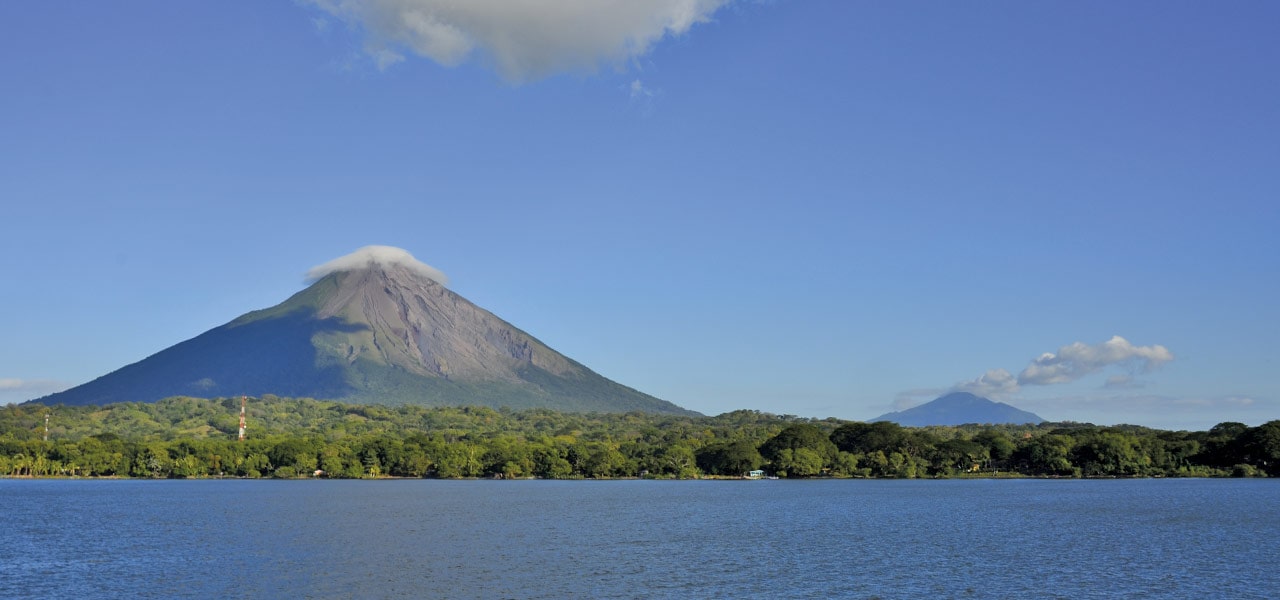
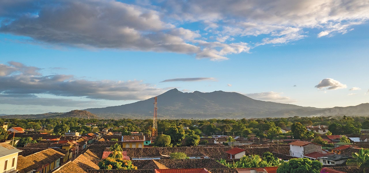
Because of its coasts on the Atlantic and Pacific, dozens of volcanoes, lakes and rivers, Nicaragua is also called Land of Lakes and Volcanoes. Geographically, the country is divided into three zones that differ both climatically and in their natural environment: the Pacific, Central and Caribbean regions.

Regions and Destinations Nicaragua

With more than 130´000 km² (as Greece), Nicaragua is the largest country in Central America. To the north, it is bordered by Honduras, to the south by Costa Rica, to the east by the Atlantic Ocean and to the west by the Pacific Ocean. With 8,188 km², Lake Nicaragua lake or Cocibolca is the largest lake of Central America and the second largest of Latin America. In addition, there are 25 volcanoes, 19 inactive and 6 active, in the country.

Head to Léon and admire the spires of its huge cathedral, also known as the House of Light, before climbing to the top to take in the magnificent views of its mountainous surroundings. You’ll find yourself surrounded by stunning landscapes on a drive from Managua to Estelí on the Carretera Interamericana, or pass through the quiet town of Matagalpa, ‘the pearl of the north’.

Culture

Nicaraguan culture is very colorful, it’s people enjoy preserving the originality of it by portraying dances with hand made customs that represent the heart of our country.